Lägg till önskelistan
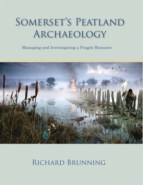
Somerset's Peatland Archaeology e-bok
Pris
115 kr
The Somerset Levels and Moors are part of a series of coastal floodplains that fringe both sides of the Severn Estuary. These areas have similar Holocene environmental histories and contain a wealth of waterlogged archaeological landscapes and discrete monuments. The importance of Somerset's prehistoric wetland heritage is shown by the fact that twenty-five percent of all the prehistoric waterlogged sites thought still to exist in England are from the Somerset moors, the County Museum in Taun...
E-Bok
115 kr
Pris
Förlag
Oxbow Books
Utgiven
15 Februari 2021
Längd
352 sidor
Genrer
Historia & Arkeologi, Fackböcker
Språk
English
Format
epub
Kopieringsskydd
Vattenmärkt
ISBN
9781782970668
The Somerset Levels and Moors are part of a series of coastal floodplains that fringe both sides of the Severn Estuary. These areas have similar Holocene environmental histories and contain a wealth of waterlogged archaeological landscapes and discrete monuments. The importance of Somerset's prehistoric wetland heritage is shown by the fact that twenty-five percent of all the prehistoric waterlogged sites thought still to exist in England are from the Somerset moors, the County Museum in Taunton Castle holds the largest collection of conserved prehistoric worked wood in the UK, possibly in the whole of Europe, the Sweet Track (the oldest known wooden trackway in the UK) and Glastonbury Lake Village have produced the most complete record of Neolithic and Iron Age material culture in the UK and Glastonbury Lake Village was the best preserved prehistoric settlement ever discovered in the UK.
This substantial monograph presents the results of the MARISP project ( Monuments at Risk in Somerset Peatlands) which thoroughly assessed the condition of the wetland monuments and the ongoing threats to their survival and aimed to answer key research questions about the sites through the use of minimally invasive excavation and to inform the development of future national and county wetland strategies.


